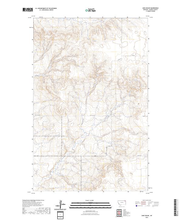
2024 Map of Line Coulee
USGS Topo · Published 2024About this map
Big Coulee and Line Coulee define the drainage patterns of this sparsely settled landscape in eastern Montana. This 2024 map documents the current state of a region largely shaped by the Public Land Survey System, as evidenced by the prominent township and range boundaries such as t34n r49e. The terrain is characterized by intricate contouring that reveals the deep erosion patterns of these coulees as they cut through the high plains.
Find a feature on this map
12 named features on this map. Tap any name to fly to it.
Don’t see what you’re looking for? This feature index may not catch every label — zoom into the map to look around manually.
Map Details
Editions of this 2024 Line Coulee Map
This is the sole edition of this map. No revisions or reprints were ever made.
Other maps of this area

1954 · Wolf Point
USGS Topo · 1:250,000

1958 · Wolf Point
USGS Topo · 1:250,000

1973 · Madoc
USGS Topo · 1:24,000

1973 · Flaxville
USGS Topo · 1:24,000

1973 · Bredette
USGS Topo · 1:24,000

1973 · Line Coulee
USGS Topo · 1:24,000

1973 · Scobey
USGS Topo · 1:24,000

1973 · Pleasant Prairie NW
USGS Topo · 1:24,000

1973 · Nielsen Coulee
USGS Topo · 1:24,000

1973 · Pleasant Prairie SW
USGS Topo · 1:24,000