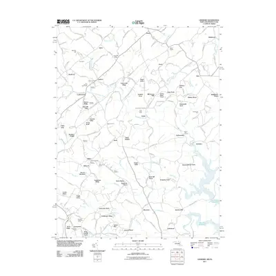
2011 Map of Lineboro
USGS Topo · Published 2011About this map
Gunpowder Falls and its numerous tributaries, including South Branch Gunpowder Falls and Grave Run, carve through this landscape along the Maryland-Pennsylvania border. The map reveals a dense network of small agricultural and residential clusters, notably the settlement of Lineboro, which serves as a local hub with its Lineboro Post Office. Genealogists will find a high concentration of burial sites, such as the Lazarus Cemetery near the Two Springs Buffalo Farm and the Stansbury Cemetery located further south. The southeastern corner is dominated by the reach of the Prettyboy Reservoir, while local recreation is represented by the Oak Mont Green Golf Course. The map reflects a region of transition between larger valley settlements like Alesia and the upland ridges of Dug Hill Ridge.
Find a feature on this map
174 named features on this map. Tap any name to fly to it.
Don’t see what you’re looking for? This feature index may not catch every label — zoom into the map to look around manually.
Map Details
Editions of this 2011 Lineboro Map
This is the sole edition of this map. No revisions or reprints were ever made.
Other maps of this area

1900 · Parkton
USGS Topo · 1:62,500

1902 · Parkton
USGS Topo · 1:62,500

1905 · Westminster
USGS Topo · 1:62,500

1908 · York
USGS Topo · 1:62,500

1910 · York
USGS Topo · 1:62,500

1920 · Hanover
USGS Topo · 1:62,500

1922 · Hanover
USGS Topo · 1:62,500

1944 · New Freedom
USGS Topo · 1:31,680

1944 · Manchester
USGS Topo · 1:31,680

1944 · Hampstead
USGS Topo · 1:31,680