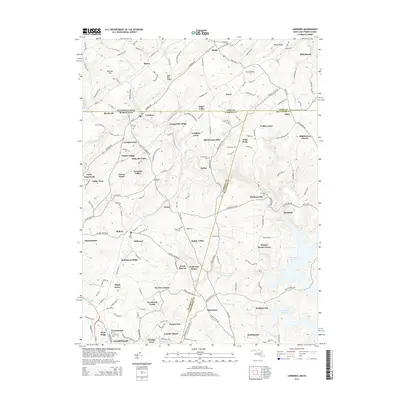
2014 Map of Lineboro
USGS Topo · Published 2014About this map
Lineboro sits directly on the border between Maryland and Pennsylvania, serving as a focal point for this rural landscape where Carroll and Baltimore Counties meet York County. The terrain is defined by the headwaters of Gunpowder Falls and its various branches, including the S Br Gunpowder Falls and Muddy Cr. This area is characterized by a high density of small family and community burial sites, such as Lazarus Cem, Bollinger Cem, and Mt Tabor Cem, which provide significant value for genealogical research.
Find a feature on this map
158 named features on this map. Tap any name to fly to it.
Don’t see what you’re looking for? This feature index may not catch every label — zoom into the map to look around manually.
Map Details
Editions of this 2014 Lineboro Map
This is the sole edition of this map. No revisions or reprints were ever made.
Other maps of this area

1900 · Parkton
USGS Topo · 1:62,500

1902 · Parkton
USGS Topo · 1:62,500

1905 · Westminster
USGS Topo · 1:62,500

1908 · York
USGS Topo · 1:62,500

1910 · York
USGS Topo · 1:62,500

1920 · Hanover
USGS Topo · 1:62,500

1922 · Hanover
USGS Topo · 1:62,500

1944 · New Freedom
USGS Topo · 1:31,680

1944 · Manchester
USGS Topo · 1:31,680

1944 · Hampstead
USGS Topo · 1:31,680