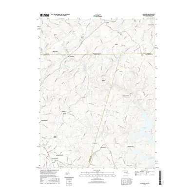
2016 Map of Lineboro
USGS Topo · Published 2016About this map
Lineboro and Manchester anchor this landscape along the Maryland-Pennsylvania border, where the rural character of Carroll County meets the southern edge of York County. The drainage patterns of the Gunpowder Falls and its various tributaries, including S Br Gunpowder Falls and Indian Run, define the terrain as it descends toward the southeastern expanse of the Prettyboy Reservoir. This 2016 survey illustrates a region where small hamlets like Alesia, Millers, and Stiltz are connected by a network of historic thoroughfares such as Steltz Rd and Maple Grove Rd. Local history and genealogy are well-represented by numerous family and community burial grounds, including Lazarus Cem, Bollinger Cem, and Zimmermans Cem. The Maryland Midland Railway cuts through the topography, reflecting the long-standing transportation corridor that has supported these border communities for generations.
Find a feature on this map
114 named features on this map. Tap any name to fly to it.
Don’t see what you’re looking for? This feature index may not catch every label — zoom into the map to look around manually.
Map Details
Editions of this 2016 Lineboro Map
This is the sole edition of this map. No revisions or reprints were ever made.
Other maps of this area

1900 · Parkton
USGS Topo · 1:62,500

1902 · Parkton
USGS Topo · 1:62,500

1905 · Westminster
USGS Topo · 1:62,500

1908 · York
USGS Topo · 1:62,500

1910 · York
USGS Topo · 1:62,500

1920 · Hanover
USGS Topo · 1:62,500

1922 · Hanover
USGS Topo · 1:62,500

1944 · New Freedom
USGS Topo · 1:31,680

1944 · Manchester
USGS Topo · 1:31,680

1944 · Hampstead
USGS Topo · 1:31,680