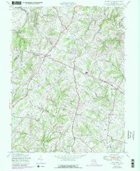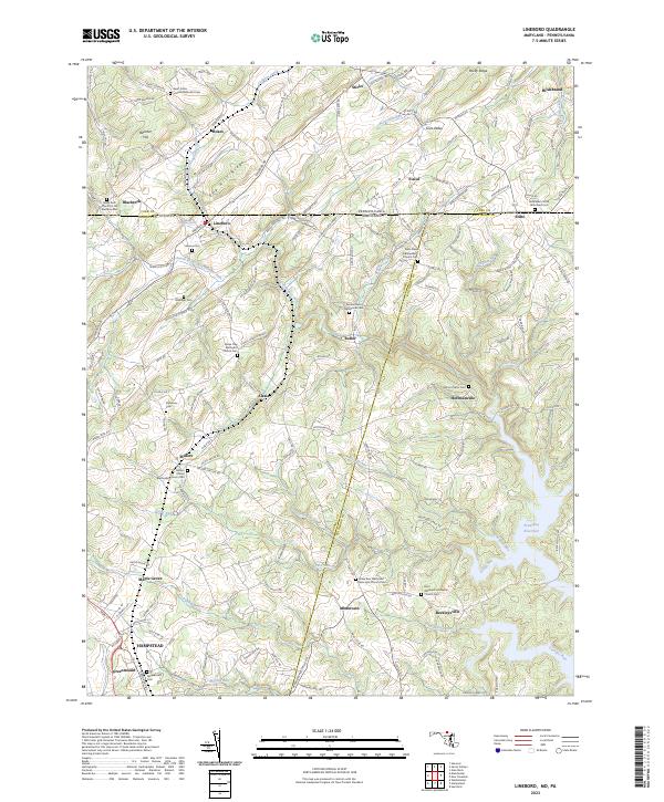
2023 Map of Lineboro
USGS Topo · Published 2023About this map
Gunpowder Falls and its various branches, including the South Branch Gunpowder Falls and Grave Run, carve through this landscape along the Mason-Dixon line. This 2023 survey illustrates the dense network of crossroads communities and rural parishes that define the border between Maryland and Pennsylvania. Settlements such as Lineboro, Alesia, and Beckleysville serve as anchors for a region historically tied to water power and agriculture, evidenced by the numerous cemeteries and churches like the Bethlehem Steltz Reformed Cem and Saint Johns United Methodist Cem.
Find a feature on this map
165 named features on this map. Tap any name to fly to it.
Don’t see what you’re looking for? This feature index may not catch every label — zoom into the map to look around manually.
Map Details
Editions of this 2023 Lineboro Map
This is the sole edition of this map. No revisions or reprints were ever made.
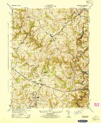
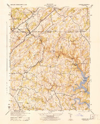
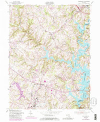
Historical Maps of Fairmount North Through Time
8 maps found