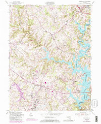
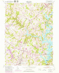
1953 Map of Finksburg
USGS Topo · Published 1989About this map
Liberty Lake dominates the eastern half of this Maryland landscape, its winding arms reaching deep into the hills of Carroll and Baltimore counties. The area is defined by a series of small, established settlements like Eldersburg, Finksburg, and Gamber that punctuate a network of rural roads and watercourses. Significant institutional landmarks are present, including the Strawbridge Home For Boys near the reservoir and the extensive grounds of the Hospital Center north of Sykesville.
Find a feature on this map
50 named features on this map. Tap any name to fly to it.
Don’t see what you’re looking for? This feature index may not catch every label — zoom into the map to look around manually.
Map Details
Editions of this 1953 Finksburg Map
5 editions found
Other maps of this area

1892 · Ellicott
USGS Topo · 1:62,500

1893 · Frederick
USGS Topo · 1:125,000

1894 · Ellicott
USGS Topo · 1:62,500

1894 · Frederick
USGS Topo · 1:125,000

1905 · Westminster
USGS Topo · 1:62,500

1906 · Ellicott
USGS Topo · 1:62,500

1908 · Patapsco
USGS Topo · 1:125,000

1909 · Mount Airy
USGS Topo · 1:62,500

1911 · Taneytown
USGS Topo · 1:62,500

1942 · Gettysburg
USGS Topo · 1:125,000