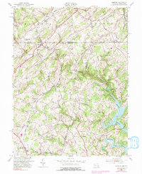
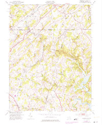
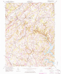
1953 Map of Lineboro
USGS Topo · Published 1991About this map
The Western Maryland railroad corridor defines the transit history of this borderland, cutting south through Lineboro and Millers as it follows the drainage of Gunpowder Falls. The landscape is a network of small farming hamlets and nineteenth-century community infrastructure, featuring numerous rural schools like Hokes Sch and Millers Sch, alongside family-named landmarks such as Stiltz and Hildebrand. This 1953 survey, with revisions from 1974, highlights the dramatic intersection of local topography and modern utility at the Prettyboy Reservoir, where the South Branch Gunpowder Falls is impounded.
Find a feature on this map
61 named features on this map. Tap any name to fly to it.
Don’t see what you’re looking for? This feature index may not catch every label — zoom into the map to look around manually.
Map Details
Editions of this 1953 Lineboro Map
6 editions found
Other maps of this area

1900 · Parkton
USGS Topo · 1:62,500

1902 · Parkton
USGS Topo · 1:62,500

1905 · Westminster
USGS Topo · 1:62,500

1908 · York
USGS Topo · 1:62,500

1910 · York
USGS Topo · 1:62,500

1920 · Hanover
USGS Topo · 1:62,500

1922 · Hanover
USGS Topo · 1:62,500

1944 · New Freedom
USGS Topo · 1:31,680

1944 · Manchester
USGS Topo · 1:31,680

1944 · Hampstead
USGS Topo · 1:31,680