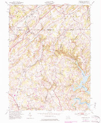
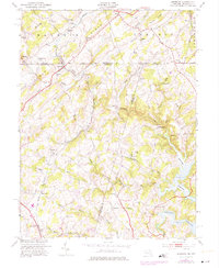
1953 Map of Lineboro
USGS Topo · Published 1984About this map
The Western Maryland railroad corridor forms the backbone of this borderland region, cutting through the terrain between Lineboro and Alesia. The map illustrates a rural landscape defined by narrow valleys and ridges, where small crossroads settlements like Stiltz, Bethlehem, and Hoffmanville serve as local anchors. Numerous country churches and schools are situated throughout the hills, including St Johns Ch, Lazarus Ch, and Hokes Sch, highlighting the community-centric geography of the early to mid-20th century.
Find a feature on this map
70 named features on this map. Tap any name to fly to it.
Don’t see what you’re looking for? This feature index may not catch every label — zoom into the map to look around manually.
Map Details
Editions of this 1953 Lineboro Map
6 editions found
Other maps of this area

1900 · Parkton
USGS Topo · 1:62,500

1902 · Parkton
USGS Topo · 1:62,500

1905 · Westminster
USGS Topo · 1:62,500

1908 · York
USGS Topo · 1:62,500

1910 · York
USGS Topo · 1:62,500

1920 · Hanover
USGS Topo · 1:62,500

1922 · Hanover
USGS Topo · 1:62,500

1944 · New Freedom
USGS Topo · 1:31,680

1944 · Manchester
USGS Topo · 1:31,680

1944 · Hampstead
USGS Topo · 1:31,680