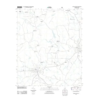
2011 Map of Lineville West
USGS Topo · Published 2011About this map
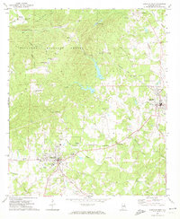
Ashland and Lineville anchor the central and eastern portions of this Clay County landscape, where the foothills of the Appalachian range create a complex network of ridges and watercourses. The drainage of Talladega Creek and Enitachopco Creek defines the terrain, while numerous watershed dams, including Crooked Creek Watershed Dam Number 5, manage the flow through the valleys. The map documents a dense distribution of local burial grounds and churches that speak to the long-standing community structure of the region, from the Old Field Cemetery on the western edge to the Shiloh Cemetery in the southeast.
Find a feature on this map
116 named features on this map. Tap any name to fly to it.
Don’t see what you’re looking for? This feature index may not catch every label — zoom into the map to look around manually.
Map Details
Editions of this 2011 Lineville West Map
This is the sole edition of this map. No revisions or reprints were ever made.
Other maps of this area

1891 · Ashland
USGS Topo · 1:125,000

1953 · Atlanta
USGS Topo · 1:250,000

1957 · Atlanta
USGS Topo · 1:250,000

1958 · Atlanta
USGS Topo · 1:250,000
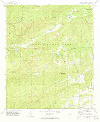
1969 · Clairmont Springs
USGS Topo · 1:24,000
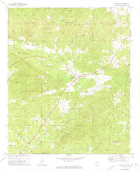
1969 · Millerville
USGS Topo · 1:24,000

1969 · Gibsonville
USGS Topo · 1:24,000

1969 · Mellow Valley
USGS Topo · 1:24,000
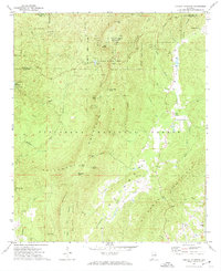
1969 · Cheaha Mountain
USGS Topo · 1:24,000
1969 · Lineville West
USGS Topo · 1:24,000