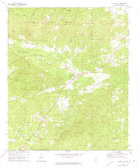
1969 Map of Millerville
USGS Topo · Published 1973About this map
Millerville serves as the central hub for this portion of Clay County, situated at the intersection of rural routes and the local educational anchor, Graves High Sch. The landscape is defined by the transition from the ridgelines of the Talladega National Forest in the north to the fertile creek valleys that dominate the southern half of the quadrangle. Several family-named peaks, including McGehee Mtn and Triplett Mtn, overlook a dense network of watercourses such as Hillabee Creek and Blue Creek.
Find a feature on this map
35 named features on this map. Tap any name to fly to it.
Don’t see what you’re looking for? This feature index may not catch every label — zoom into the map to look around manually.
Map Details
Editions of this 1969 Millerville Map
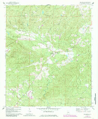
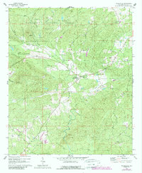
3 editions found
Other maps of this area

1890 · Talladega
USGS Topo · 1:125,000

1891 · Ashland
USGS Topo · 1:125,000

1892 · Talladega
USGS Topo · 1:125,000

1943 · Talladega
USGS Topo · 1:62,500

1944 · Goodwater
USGS Topo · 1:62,500

1946 · Talladega
USGS Topo · 1:62,500

1947 · Goodwater
USGS Topo · 1:62,500

1953 · Birmingham
USGS Topo · 1:250,000

1953 · Atlanta
USGS Topo · 1:250,000

1956 · Birmingham
USGS Topo · 1:250,000