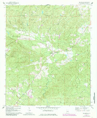
1969 Map of Millerville
USGS Topo · Published 1985About this map
Millerville serves as the central hub of this rural Alabama landscape, situated at the intersection of local routes within the southern reaches of the Talladega National Forest. The map reflects a community defined by its dispersed social anchors, notably the numerous small country churches and schoolhouses that dot the valleys between Backbone Mountain and McGehee Mtn. One can trace the local educational history through Graves High Sch and the spiritual life of the area at sites like Mt Tabor Ch, Roseline Ch, and Gutheries Chapel.
Find a feature on this map
34 named features on this map. Tap any name to fly to it.
Don’t see what you’re looking for? This feature index may not catch every label — zoom into the map to look around manually.
Map Details
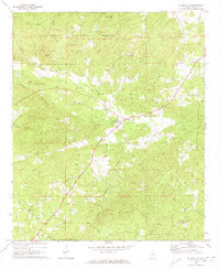
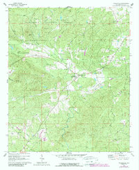
Editions of this 1969 Millerville Map
3 editions found
Other maps of this area

1890 · Talladega
USGS Topo · 1:125,000

1891 · Ashland
USGS Topo · 1:125,000

1892 · Talladega
USGS Topo · 1:125,000

1943 · Talladega
USGS Topo · 1:62,500

1944 · Goodwater
USGS Topo · 1:62,500

1946 · Talladega
USGS Topo · 1:62,500

1947 · Goodwater
USGS Topo · 1:62,500

1953 · Birmingham
USGS Topo · 1:250,000

1953 · Atlanta
USGS Topo · 1:250,000

1956 · Birmingham
USGS Topo · 1:250,000