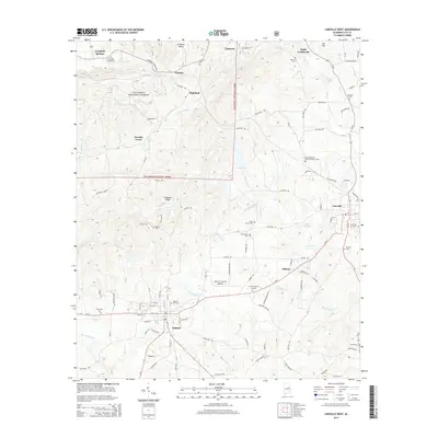
2014 Map of Lineville West
USGS Topo · Published 2014About this map
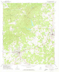
Shinbone Valley and the Talladega National Forest dominate the northern landscape of this survey, which documents the rural corridor between two Clay County hubs. The map captures the western edge of Lineville and the seat of Ashland, illustrating how the road networks bridge the gap between these communities and the surrounding woodland ridges. Notable for genealogists is the high density of rural burial grounds, including the Old Macedonia Primitive Baptist Cem, Olive Branch Cem, and the Campbell Springs Cem near the northern border.
Find a feature on this map
97 named features on this map. Tap any name to fly to it.
Don’t see what you’re looking for? This feature index may not catch every label — zoom into the map to look around manually.
Map Details
Editions of this 2014 Lineville West Map
This is the sole edition of this map. No revisions or reprints were ever made.
Other maps of this area

1891 · Ashland
USGS Topo · 1:125,000

1953 · Atlanta
USGS Topo · 1:250,000

1957 · Atlanta
USGS Topo · 1:250,000

1958 · Atlanta
USGS Topo · 1:250,000
1969 · Clairmont Springs
USGS Topo · 1:24,000
1969 · Millerville
USGS Topo · 1:24,000

1969 · Gibsonville
USGS Topo · 1:24,000

1969 · Mellow Valley
USGS Topo · 1:24,000
1969 · Cheaha Mountain
USGS Topo · 1:24,000
1969 · Lineville West
USGS Topo · 1:24,000