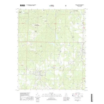
2018 Map of Lineville West
USGS Topo · Published 2018About this map
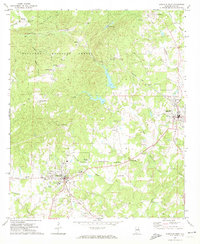
Shinbone Valley and the western edge of Lineville define this portion of Clay County during the late 2010s. The landscape transitions from the wooded slopes of the Talladega National Forest in the northwest to the agricultural and residential outskirts of Ashland. This area is characterized by a dense network of country roads, including Clairmont Springs Rd and Oak Grove Rd, which connect small rural communities and historic church sites. Numerous local burial grounds, such as Concord Cem, Old Macedonia Primitive Baptist Cem, and Olive Branch Cem, are scattered throughout the terrain, serving as primary anchors for genealogical research. The Ashland/Lineville Airport provides a modern navigational landmark centrally located between the two primary towns, while water features like Talladega Cr and Horsetrough Cr drain the rolling topography.
Find a feature on this map
131 named features on this map. Tap any name to fly to it.
Don’t see what you’re looking for? This feature index may not catch every label — zoom into the map to look around manually.
Map Details
Editions of this 2018 Lineville West Map
This is the sole edition of this map. No revisions or reprints were ever made.
Other maps of this area

1891 · Ashland
USGS Topo · 1:125,000

1953 · Atlanta
USGS Topo · 1:250,000

1957 · Atlanta
USGS Topo · 1:250,000

1958 · Atlanta
USGS Topo · 1:250,000
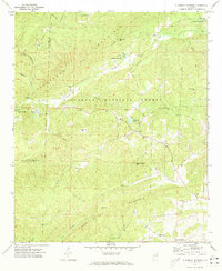
1969 · Clairmont Springs
USGS Topo · 1:24,000
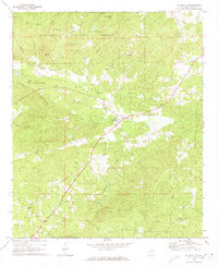
1969 · Millerville
USGS Topo · 1:24,000

1969 · Gibsonville
USGS Topo · 1:24,000

1969 · Mellow Valley
USGS Topo · 1:24,000
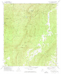
1969 · Cheaha Mountain
USGS Topo · 1:24,000
1969 · Lineville West
USGS Topo · 1:24,000