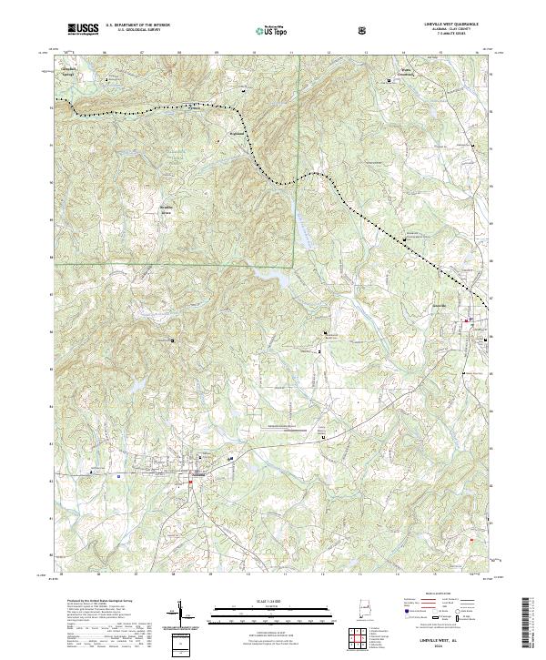
2024 Map of Lineville West
USGS Topo · Published 2024About this map
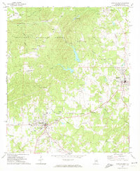
The Clay County Courthouse in Ashland serves as the focal point for this section of the Alabama Piedmont, where the civic life of the county seat meets the foothills of the Talladega National Forest. The landscape is defined by its transition from the municipal grids of Lineville and Ashland to the protected slopes of the Cheaha Wilderness in the north. This area is historically tied to the land's natural resources, evidenced by the settlement at Pyriton, a name reflecting the region's mineral past, and the numerous rural congregations and burial grounds like Campbell Springs Ch and Macedonia Primitive Baptist Church that dot the ridges. The topography is deeply carved by drainage systems including Talladega Creek and Crooked Creek, which have influenced the winding path of local routes like Clairmont Springs Rd and the placement of communities like Highland and Bowden Grove.
Find a feature on this map
136 named features on this map. Tap any name to fly to it.
Don’t see what you’re looking for? This feature index may not catch every label — zoom into the map to look around manually.
Map Details
Editions of this 2024 Lineville West Map
This is the sole edition of this map. No revisions or reprints were ever made.
Other maps of this area

1891 · Ashland
USGS Topo · 1:125,000

1953 · Atlanta
USGS Topo · 1:250,000

1957 · Atlanta
USGS Topo · 1:250,000

1958 · Atlanta
USGS Topo · 1:250,000
1969 · Clairmont Springs
USGS Topo · 1:24,000
1969 · Millerville
USGS Topo · 1:24,000

1969 · Gibsonville
USGS Topo · 1:24,000

1969 · Mellow Valley
USGS Topo · 1:24,000
1969 · Cheaha Mountain
USGS Topo · 1:24,000
1969 · Lineville West
USGS Topo · 1:24,000