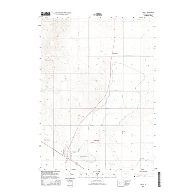
2015 Map of Lingle
USGS Topo · Published 2015About this map
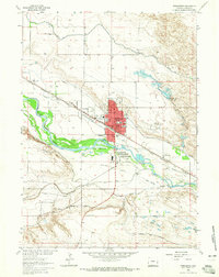
Lingle serves as the focal point of this Goshen County landscape, situated along a network of irrigation canals and drainage systems that define local agriculture. The town is flanked by two significant burial grounds, Valley View Cem and Lingle Cem, providing valuable points of reference for genealogists tracing regional families. To the east, Rawhide Cr meanders south toward the Hanna Lakes, while the western terrain rises toward landmarks such as Rattlesnake Point and P-F Hill. The map meticulously details the rural infrastructure, including Canal Rd and Cemetary Rd, which facilitate movement between the agricultural fields and the residential center. Natural water sources like Bowen Spring and named topographic features like Willy Draw further characterize the High Plains environment surrounding this Wyoming community.
Find a feature on this map
29 named features on this map. Tap any name to fly to it.
Don’t see what you’re looking for? This feature index may not catch every label — zoom into the map to look around manually.
Map Details
Editions of this 2015 Lingle Map
This is the sole edition of this map. No revisions or reprints were ever made.
Other maps of this area

1896 · Patrick
USGS Topo · 1:125,000

1954 · Torrington
USGS Topo · 1:250,000

1958 · Torrington
USGS Topo · 1:250,000

1960 · Habig Spring
USGS Topo · 1:24,000
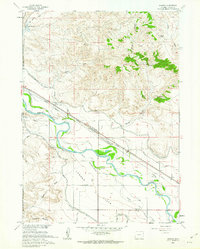
1960 · Barnes
USGS Topo · 1:24,000
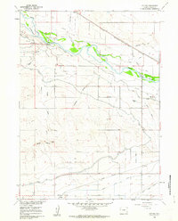
1960 · Cottier
USGS Topo · 1:24,000
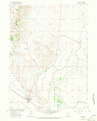
1963 · Lingle
USGS Topo · 1:24,000

1963 · Tea Kettle Rock
USGS Topo · 1:24,000
1963 · Torrington
USGS Topo · 1:24,000

1974 · Spoon Butte SW
USGS Topo · 1:24,000