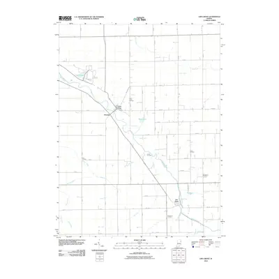
2010 Map of Linn Grove
USGS Topo · Published 2010About this map
The Wabash River meanders diagonally across this portion of Wells County, shaping the settlement patterns of Vera Cruz and Linn Grove. This landscape is defined by an extensive network of drainage infrastructure, such as Markley Ditch, Meyer Ditch, and Breiner Joint Ditch, which converted the natural wetlands into productive agricultural territory. Smaller communities like Riverside sit near the riverbanks, while the rural interior is dotted with significant family and community landmarks. Genealogists will find a high density of burial sites throughout the township, including Saint Johns Cemetery, Greenwood Cemetery, and the Beibersteine Cemetery. The map also details local water bodies like Kunkel Lake and Meyer Lake, illustrating the careful balance between the region's hydraulic engineering and its remaining natural basins.
Find a feature on this map
46 named features on this map. Tap any name to fly to it.
Don’t see what you’re looking for? This feature index may not catch every label — zoom into the map to look around manually.
Map Details
Editions of this 2010 Linn Grove Map
This is the sole edition of this map. No revisions or reprints were ever made.
Other maps of this area

1911 · Berne
USGS Topo · 1:48,000

1953 · Muncie
USGS Topo · 1:250,000

1956 · Muncie
USGS Topo · 1:250,000

1962 · Uniondale
USGS Topo · 1:24,000

1962 · Preble
USGS Topo · 1:24,000

1962 · Berne
USGS Topo · 1:24,000

1962 · Petroleum
USGS Topo · 1:24,000
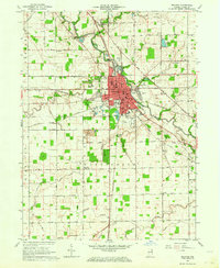
1962 · Decatur
USGS Topo · 1:24,000

1962 · Linn Grove
USGS Topo · 1:24,000
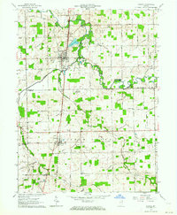
1962 · Geneva
USGS Topo · 1:24,000