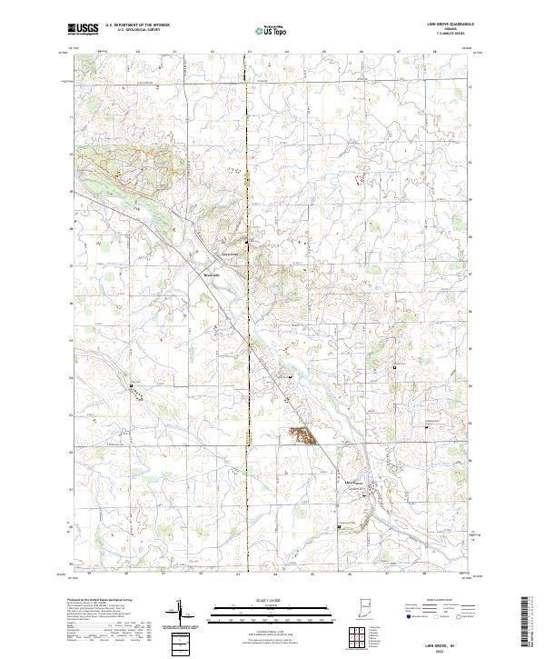
2022 Map of Linn Grove
USGS Topo · Published 2022About this map
The Wabash River carves a diagonal path through this rural Indiana landscape, serving as the primary geographical anchor for the communities of Vera Cruz, Riverside, and Linn Grove. This modern survey illustrates the enduring drainage patterns of the region, where numerous named channels like Hierly Ditch, Moser Ditch, and Egley Ditch crisscross the farmland to feed into the river system. The settlement pattern remains concentrated near these watercourses and along the Wells Co Adams Co line.
Find a feature on this map
92 named features on this map. Tap any name to fly to it.
Don’t see what you’re looking for? This feature index may not catch every label — zoom into the map to look around manually.
Map Details
Editions of this 2022 Linn Grove Map
This is the sole edition of this map. No revisions or reprints were ever made.
Other maps of this area

1911 · Berne
USGS Topo · 1:48,000

1953 · Muncie
USGS Topo · 1:250,000

1956 · Muncie
USGS Topo · 1:250,000

1962 · Uniondale
USGS Topo · 1:24,000

1962 · Preble
USGS Topo · 1:24,000

1962 · Berne
USGS Topo · 1:24,000

1962 · Petroleum
USGS Topo · 1:24,000
1962 · Decatur
USGS Topo · 1:24,000

1962 · Linn Grove
USGS Topo · 1:24,000
1962 · Geneva
USGS Topo · 1:24,000