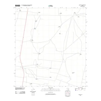
2010 Map of Linn NE
USGS Topo · Published 2010About this map
Windmill infrastructure and large ranching divisions define this South Texas landscape in Hidalgo County. Named for local families and landmarks, these sites reflect a history of deep-well water management necessary for livestock in the semi-arid Brush Country. Many of these features, such as the Maria Chavez Windmill, Todos Santos Windmill, and San Carlos Windmill, represent specific points of human activity in an otherwise sparse environment.
Find a feature on this map
17 named features on this map. Tap any name to fly to it.
Don’t see what you’re looking for? This feature index may not catch every label — zoom into the map to look around manually.
Map Details
Editions of this 2010 Linn NE Map
This is the sole edition of this map. No revisions or reprints were ever made.
Other maps of this area

1922 · La Sal Vieja
USGS Topo · 1:62,500

1923 · Armstrong
USGS Topo · 1:62,500

1939 · Linn
USGS Topo · 1:62,500

1949 · Mc Allen
USGS Topo · 1:250,000

1953 · Brownsville
USGS Topo · 1:250,000

1954 · McAllen
USGS Topo · 1:250,000

1956 · Julian
USGS Topo · 1:24,000

1956 · Andrea Ranch
USGS Topo · 1:24,000

1956 · La Sal Vieja
USGS Topo · 1:24,000

1956 · La Sal Vieja
USGS Topo · 1:62,500