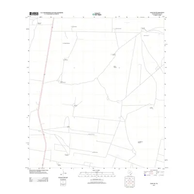
2012 Map of Linn NE
USGS Topo · Published 2012About this map
Large grazing lands and ranching infrastructure define this section of Hidalgo County, dominated by sprawling tracts like La Copita Pasture, Mula Pasture, and Los Machos Pasture. This landscape is fundamentally shaped by the search for water, evidenced by a dense network of windmills that serve as primary geographic anchors. Named points such as the Maria Chavez Windmill, Todos Santos Windmill, and San Carlos Windmill provide specific markers for family history and land use in this semi-arid region.
Find a feature on this map
18 named features on this map. Tap any name to fly to it.
Don’t see what you’re looking for? This feature index may not catch every label — zoom into the map to look around manually.
Map Details
Editions of this 2012 Linn NE Map
This is the sole edition of this map. No revisions or reprints were ever made.
Other maps of this area

1922 · La Sal Vieja
USGS Topo · 1:62,500

1923 · Armstrong
USGS Topo · 1:62,500

1939 · Linn
USGS Topo · 1:62,500

1949 · Mc Allen
USGS Topo · 1:250,000

1953 · Brownsville
USGS Topo · 1:250,000

1954 · McAllen
USGS Topo · 1:250,000

1956 · Julian
USGS Topo · 1:24,000

1956 · Andrea Ranch
USGS Topo · 1:24,000

1956 · La Sal Vieja
USGS Topo · 1:24,000

1956 · La Sal Vieja
USGS Topo · 1:62,500