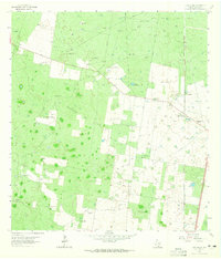
1963 Map of Linn Siding
USGS Topo · Published 1965About this map
The Southern Pacific railroad line defines the eastern landscape of this South Texas quadrangle, serving as the industrial backbone for the Linn Siding area in the early 1960s. This territory is characterized by a dense network of family-named ranching operations and essential water infrastructure, where numerous windmills like the Santo Domingo Windmill and Cadena Windmill supported the livestock and residents of Tijerina Ranch and Santa Anita Ranch.
Find a feature on this map
28 named features on this map. Tap any name to fly to it.
Don’t see what you’re looking for? This feature index may not catch every label — zoom into the map to look around manually.
Map Details
Editions of this 1963 Linn Siding Map
2 editions found
Other maps of this area

1939 · Linn
USGS Topo · 1:62,500

1939 · La Reforma
USGS Topo · 1:62,500

1940 · Monte Christo
USGS Topo · 1:62,500

1949 · Mc Allen
USGS Topo · 1:250,000

1954 · McAllen
USGS Topo · 1:250,000

1957 · Mc Allen
USGS Topo · 1:250,000

1962 · McAllen
USGS Topo · 1:250,000

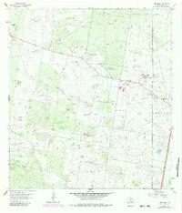
1963 · Monte Christo
USGS Topo · 1:24,000
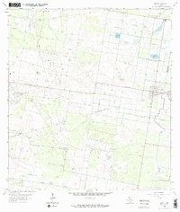
1963 · Hargill
USGS Topo · 1:24,000

1963 · Linn NW
USGS Topo · 1:24,000