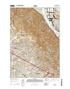
2014 Map of Linnton
USGS Topo · Published 2014About this map
The Willamette River and Multnomah Channel define the industrial and maritime edge of this landscape, where the iconic Saint Johns Bridge connects the established neighborhoods of Saint Johns and Portland to the eastern slopes of the Tualatin Mountains. The transition from the riverfront docks of Linnton to the residential expansion in Bethany and Rockcreek illustrates the mid-2010s suburban infill between the city core and the Silicon Forest.
Find a feature on this map
84 named features on this map. Tap any name to fly to it.
Don’t see what you’re looking for? This feature index may not catch every label — zoom into the map to look around manually.
Map Details
Editions of this 2014 Linnton Map
This is the sole edition of this map. No revisions or reprints were ever made.
Other maps of this area

1897 · Portland
USGS Topo · 1:62,500

1905 · Portland
USGS Topo · 1:62,500

1914 · Oregon City
USGS Topo · 1:62,500

1915 · Hillsboro
USGS Topo · 1:62,500

1916 · Tualatin
USGS Topo · 1:62,500

1918 · Hillsboro
USGS Topo · 1:62,500

1939 · Oregon City
USGS Topo · 1:62,500

1939 · Tualatin
USGS Topo · 1:62,500

1940 · Tualatin
USGS Topo · 1:62,500

1940 · Hillsboro
USGS Topo · 1:62,500