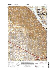
2017 Map of Linnton
USGS Topo · Published 2017About this map
Linnton and the northwest reaches of Portland anchor this survey of the Tualatin Mountains, where the Willamette River meets the Multnomah Channel. The map provides a detailed view of the complex water systems including Bybee Lake and the Columbia Slough, alongside the industrial and residential corridors of Saint Johns. Numerous historical burial sites are documented across the landscape, from the Phillips Cem in the north to the Pioneer Catholic Cem of Saint Anthony of Padua further south.
Find a feature on this map
266 named features on this map. Tap any name to fly to it.
Don’t see what you’re looking for? This feature index may not catch every label — zoom into the map to look around manually.
Map Details
Editions of this 2017 Linnton Map
This is the sole edition of this map. No revisions or reprints were ever made.
Other maps of this area

1897 · Portland
USGS Topo · 1:62,500

1905 · Portland
USGS Topo · 1:62,500

1914 · Oregon City
USGS Topo · 1:62,500

1915 · Hillsboro
USGS Topo · 1:62,500

1916 · Tualatin
USGS Topo · 1:62,500

1918 · Hillsboro
USGS Topo · 1:62,500

1939 · Oregon City
USGS Topo · 1:62,500

1939 · Tualatin
USGS Topo · 1:62,500

1940 · Tualatin
USGS Topo · 1:62,500

1940 · Hillsboro
USGS Topo · 1:62,500