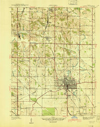
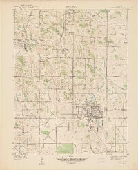
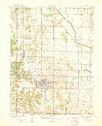
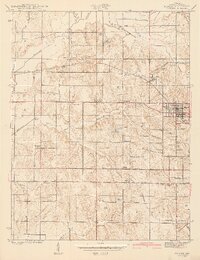
1940 Map of Linton
USGS Topo · Published 1940About this map
Linton serves as the focal point of this 1938 survey, revealing an intensive industrial landscape defined by numerous Strip Mine operations that pockmark the terrain. The region's economy is clearly anchored by a dense network of competing railroads, including the Chicago Milwaukee St Paul and Pacific, Illinois Central, Pennsylvania, and the Chicago Indianapolis and Louisville. These lines connect the main town with smaller outlying settlements like Midland Junction, Victoria, and Vicksburg.
Find a feature on this map
46 named features on this map. Tap any name to fly to it.
Don’t see what you’re looking for? This feature index may not catch every label — zoom into the map to look around manually.
Map Details
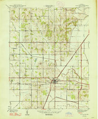
Editions of this 1940 Linton Map
2 editions found
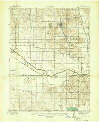
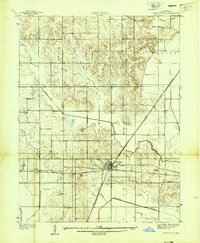
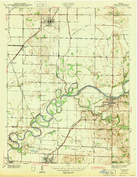
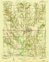
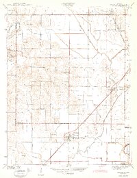
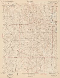
Other maps of this area
1938 · Coal City
USGS Topo · 1:24,000
1938 · Switz City
USGS Topo · 1:24,000
1940 · Jasonville
USGS Topo · 1:24,000
1943 · Lyons
USGS Topo · 1:24,000
1943 · Hymera
USGS Topo · 1:24,000
1943 · Sandborn
USGS Topo · 1:24,000
1943 · Dugger
USGS Topo · 1:24,000
1944 · Bucktown
USGS Topo · 1:24,000
1947 · Switz City
USGS Topo · 1:24,000
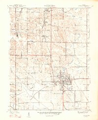
1947 · Linton
USGS Topo · 1:24,000