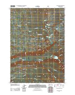
2011 Map of Linton Lake
USGS Topo · Published 2011About this map
Scott Mountain and the surrounding high-elevation basins of the Cascade Range define this landscape, where seasonal recreation and wilderness outposts are the primary human traces. The terrain is densely concentrated with small alpine water bodies, including the clusters of Tenas Lakes, Island Lake, and Benson Lake. This geography has long supported institutional summer camps such as Melakwa Boy Scout Camp, Camp Melakwa, and the White Branch Youth Camp.
Find a feature on this map
39 named features on this map. Tap any name to fly to it.
Don’t see what you’re looking for? This feature index may not catch every label — zoom into the map to look around manually.
Map Details
Editions of this 2011 Linton Lake Map
This is the sole edition of this map. No revisions or reprints were ever made.
Other maps of this area

1929 · Three Sisters
USGS Topo · 1:125,000

1932 · Three Sisters
USGS Topo · 1:125,000

1934 · Mc Kenzie Bridge
USGS Topo · 1:96,000

1940 · Mc Kenzie Bridge
USGS Topo · 1:125,000

1953 · Salem
USGS Topo · 1:250,000

1954 · Salem
USGS Topo · 1:250,000

1955 · Echo Mountain
USGS Topo · 1:62,500

1955 · Mc Kenzie Bridge
USGS Topo · 1:62,500

1955 · Bend
USGS Topo · 1:250,000

1957 · Bend
USGS Topo · 1:250,000