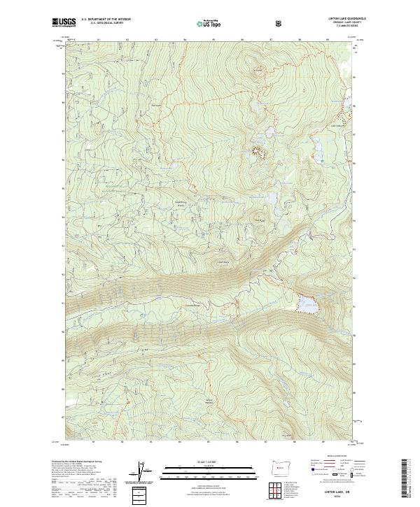
2024 Map of Linton Lake
USGS Topo · Published 2024About this map
Linton Falls and Proxy Falls mark the dramatic descent of water through the Cascade Range on this modern survey of the High Cascades. This landscape is defined by its transition from the Willamette National Forest into the protected volcanic wilderness of the Mount Washington Wilderness and Three Sisters Wilderness. The map reveals a complex network of glacial and alpine hydrology, including Linton Lake and high-elevation basins like Lake Valley.
Find a feature on this map
67 named features on this map. Tap any name to fly to it.
Don’t see what you’re looking for? This feature index may not catch every label — zoom into the map to look around manually.
Map Details
Editions of this 2024 Linton Lake Map
This is the sole edition of this map. No revisions or reprints were ever made.
Other maps of this area

1929 · Three Sisters
USGS Topo · 1:125,000

1932 · Three Sisters
USGS Topo · 1:125,000

1934 · Mc Kenzie Bridge
USGS Topo · 1:96,000

1940 · Mc Kenzie Bridge
USGS Topo · 1:125,000

1953 · Salem
USGS Topo · 1:250,000

1954 · Salem
USGS Topo · 1:250,000

1955 · Echo Mountain
USGS Topo · 1:62,500

1955 · Mc Kenzie Bridge
USGS Topo · 1:62,500

1955 · Bend
USGS Topo · 1:250,000

1957 · Bend
USGS Topo · 1:250,000