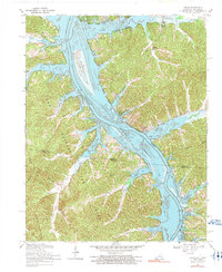
1967 Map of Linton
USGS Topo · Published 1991About this map
Lake Barkley and the Cumberland River dominate this landscape on the border of Kentucky and Tennessee, recorded here just years after the Barkley Dam was completed. The transformation of the river valley is evident in the transition to the Land Between the Lakes recreation area, which occupies the western ridge. Local history is anchored by settlements such as Linton and Tobaccoport, alongside the remnants of early industry at the Iron Furnace.
Find a feature on this map
37 named features on this map. Tap any name to fly to it.
Don’t see what you’re looking for? This feature index may not catch every label — zoom into the map to look around manually.
Map Details
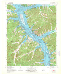
Editions of this 1967 Linton Map
2 editions found
Other maps of this area

1936 · Tharpe
USGS Topo · 1:24,000

1936 · Hamlin
USGS Topo · 1:24,000

1936 · Fenton
USGS Topo · 1:24,000

1936 · Golden Pond
USGS Topo · 1:48,000

1936 · Rushing
USGS Topo · 1:24,000

1950 · Rushing Creek
USGS Topo · 1:24,000
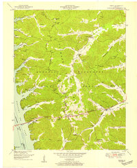
1950 · Fenton
USGS Topo · 1:24,000
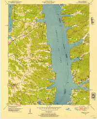
1950 · Hamlin
USGS Topo · 1:24,000

1951 · Model
USGS Topo · 1:24,000

1951 · Johnson Hollow
USGS Topo · 1:24,000