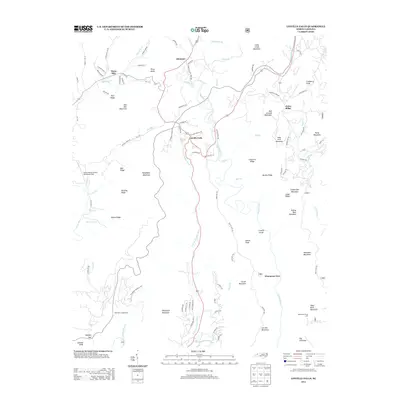
2013 Map of Linville Falls
USGS Topo · Published 2013About this map
Linville Falls serves as the focal point of this western North Carolina study, where the namesake water feature drops into the Linville Gorge. The geography is defined by the sharp descent from the high plateau of Altamont and Jonas Ridge down toward the N Fork Catawba River basin. High-elevation landmarks such as Table Rock Mountain and the distinct formation of The Chimneys tower over the valley, marking the transition from the Blue Ridge heights to the foothills below.
Find a feature on this map
105 named features on this map. Tap any name to fly to it.
Don’t see what you’re looking for? This feature index may not catch every label — zoom into the map to look around manually.
Map Details
Editions of this 2013 Linville Falls Map
This is the sole edition of this map. No revisions or reprints were ever made.
Other maps of this area

1891 · Roan Mountain
USGS Topo · 1:125,000

1893 · Cranberry
USGS Topo · 1:125,000

1894 · Roan Mountain
USGS Topo · 1:125,000

1895 · Cranberry
USGS Topo · 1:125,000

1899 · Cranberry
USGS Topo · 1:125,000

1900 · Mount Mitchell
USGS Topo · 1:125,000

1902 · Cranberry
USGS Topo · 1:125,000

1902 · Mount Mitchell
USGS Topo · 1:125,000

1904 · Roan Mountain
USGS Topo · 1:125,000

1905 · Morganton
USGS Topo · 1:125,000