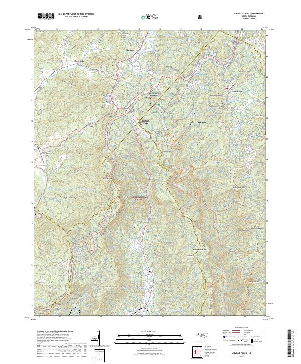
2022 Map of Linville Falls
USGS Topo · Published 2022About this map
The Linville River carves a deep path through the center of this terrain, anchored by the iconic Linville Falls and the surrounding Pisgah National Forest. This high-country landscape is defined by its ridge-and-valley structure, where the Blue Ridge Pkwy snakes along the heights, connecting points like Jonas Ridge and Altamont. For those researching local lineages, the map identifies several family-named burial sites including Wise Cem, McKinney Cem, and Wilson Cem, reflecting the scattered settlement patterns of the Blue Ridge.
Find a feature on this map
66 named features on this map. Tap any name to fly to it.
Don’t see what you’re looking for? This feature index may not catch every label — zoom into the map to look around manually.
Map Details
Editions of this 2022 Linville Falls Map
This is the sole edition of this map. No revisions or reprints were ever made.
Other maps of this area

1891 · Roan Mountain
USGS Topo · 1:125,000

1893 · Cranberry
USGS Topo · 1:125,000

1894 · Roan Mountain
USGS Topo · 1:125,000

1895 · Cranberry
USGS Topo · 1:125,000

1899 · Cranberry
USGS Topo · 1:125,000

1900 · Mount Mitchell
USGS Topo · 1:125,000

1902 · Cranberry
USGS Topo · 1:125,000

1902 · Mount Mitchell
USGS Topo · 1:125,000

1904 · Roan Mountain
USGS Topo · 1:125,000

1905 · Morganton
USGS Topo · 1:125,000