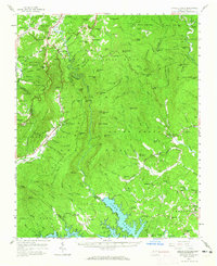
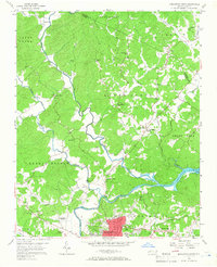
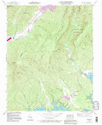
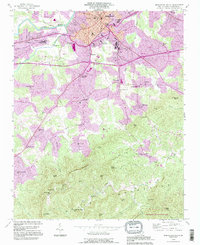
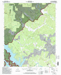
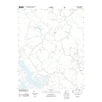
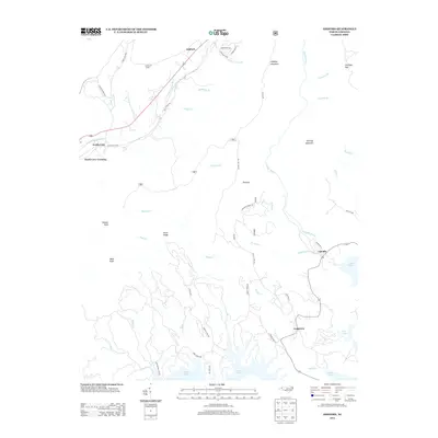
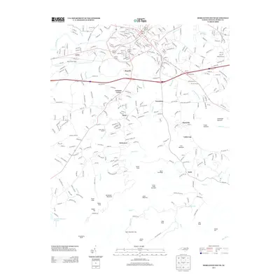
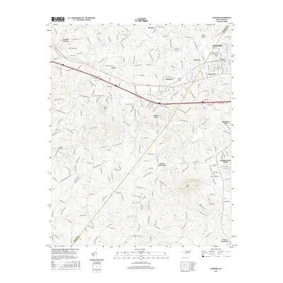
1956 Map of Linville Falls
USGS Topo · Published 1965About this map
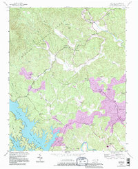
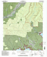
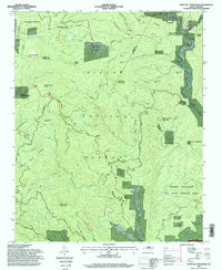
Pisgah National Forest dominates this mid-century landscape, where the dramatic descent of the Linville River carves the deep Linville Gorge. The terrain is characterized by prominent peaks and ridges including Hawksbill Mtn, Tablerock Mtn, and The Chimneys, providing a topographical window into the Blue Ridge before extensive modern development. Transportation patterns are defined by the winding Blue Ridge Parkway and the industrial route of the Clinchfield RR skirting the western slopes.
Find a feature on this map
92 named features on this map. Tap any name to fly to it.
Don’t see what you’re looking for? This feature index may not catch every label — zoom into the map to look around manually.
Map Details
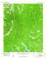
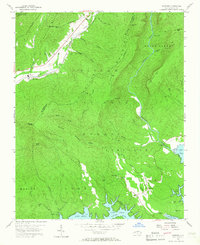
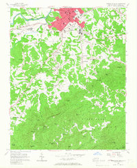
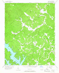
Editions of this 1956 Linville Falls Map
2 editions found
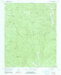
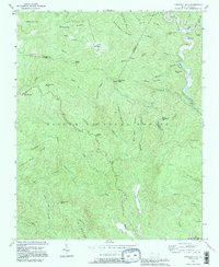
Historical Maps of Spruce Pine Through Time
47 maps found
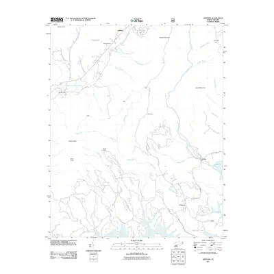
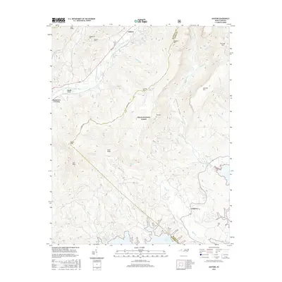
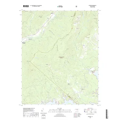
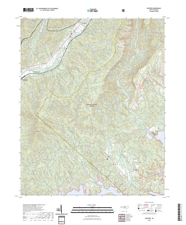
1956 Ashford
Burke County, NC
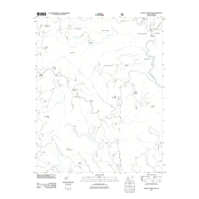
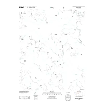
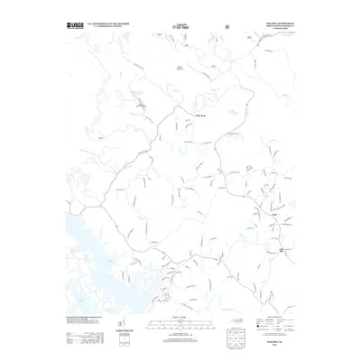
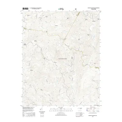
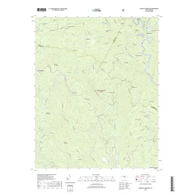
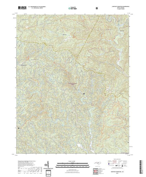
1956 Chestnut Mountain
Burke County, NC
1956 Linville Falls
Burke County, NC
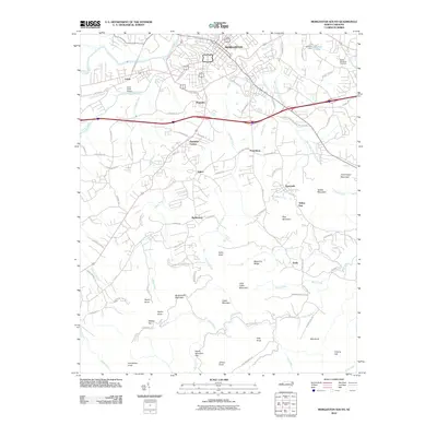
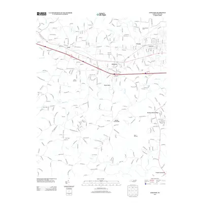
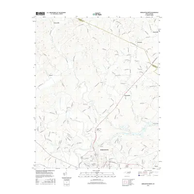
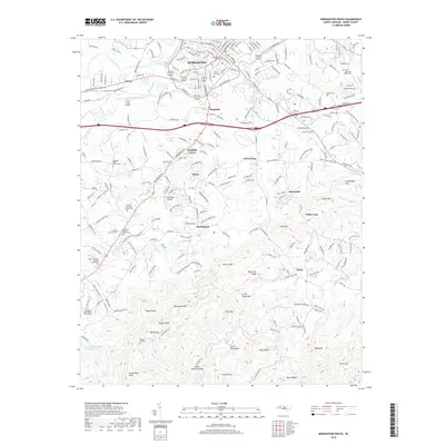
1956 Morganton North
Burke County, NC
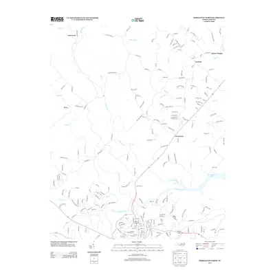
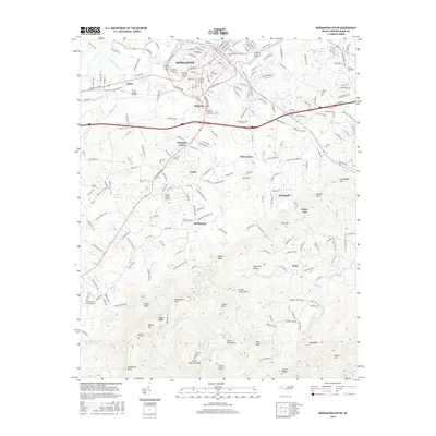
1956 Morganton South
Burke County, NC
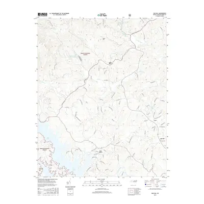
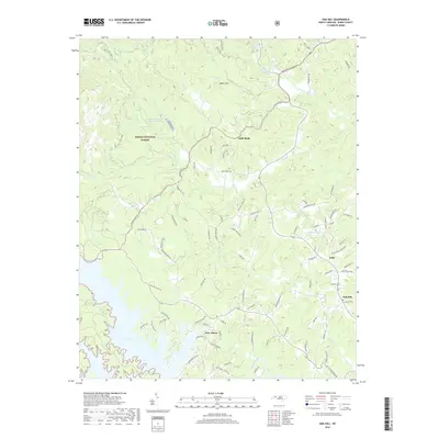
1956 Oak Hill
Burke County, NC
1970 Longview
Burke County, NC
1993 Ashford
Burke County, NC
1993 Chestnut Mountain
Burke County, NC
1993 Longview
Burke County, NC
1993 Morganton North
Burke County, NC
1993 Morganton South
Burke County, NC
1993 Oak Hill
Burke County, NC
1994 Ashford
Burke County, NC
1994 Chestnut Mountain
Burke County, NC
1994 Oak Hill
Burke County, NC
2002 Morganton North
Burke County, NC
2010 Longview
Burke County, NC
2010 Morganton North
Burke County, NC
2010 Morganton South
Burke County, NC
2011 Ashford
Burke County, NC
2011 Chestnut Mountain
Burke County, NC
2011 Oak Hill
Burke County, NC
2013 Ashford
Burke County, NC
2013 Chestnut Mountain
Burke County, NC
2013 Longview
Burke County, NC
2013 Morganton North
Burke County, NC
2013 Morganton South
Burke County, NC
2013 Oak Hill
Burke County, NC
2016 Ashford
Burke County, NC
2016 Chestnut Mountain
Burke County, NC
2016 Longview
Burke County, NC
2016 Morganton North
Burke County, NC
2016 Morganton South
Burke County, NC
2016 Oak Hill
Burke County, NC
2019 Ashford
Burke County, NC
2019 Chestnut Mountain
Burke County, NC
2019 Longview
Burke County, NC
2019 Morganton North
Burke County, NC
2019 Morganton South
Burke County, NC
2019 Oak Hill
Burke County, NC
2022 Ashford
Burke County, NC
2022 Chestnut Mountain
Burke County, NC
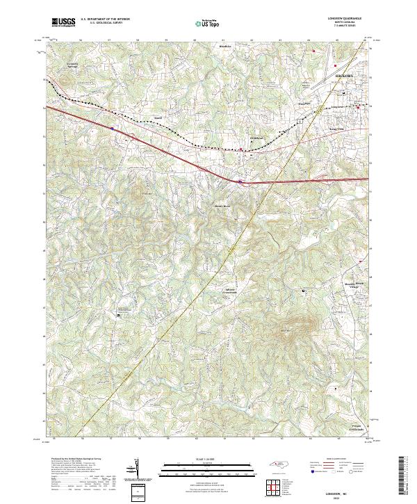
2022 Longview
Burke County, NC
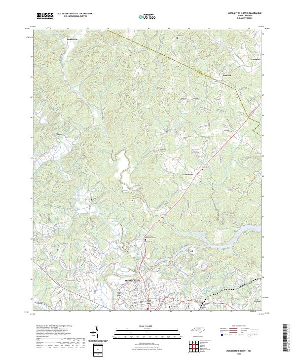
2022 Morganton North
Burke County, NC
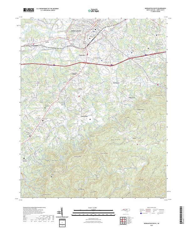
2022 Morganton South
Burke County, NC
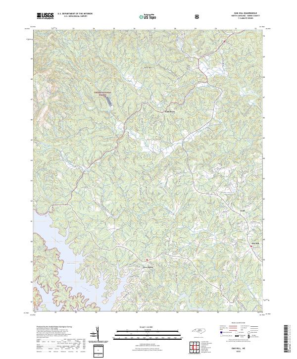
2022 Oak Hill
Burke County, NC