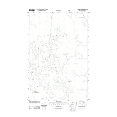
2011 Map of Lion Mountain
USGS Topo · Published 2011About this map
Forest Hill Village sits at the northern edge of this high-elevation landscape, where the transition from settlement to wilderness is marked by a complex network of forestry and mountain roads. The terrain is defined by prominent peaks including Lion Mountain, Baldy Mountain, and the heights of Blacktail Mountain to the southwest. This 2011 survey by the U.S. Geological Survey and U.S. Forest Service detail the vital drainage systems that carve through the Flathead County backcountry, including Birch Creek, Patrick Creek, and Stoner Creek. Recreational and surveillance infrastructure is prominent, featuring the Blacktail Ski Area and the high-vantage Blacktail Mountain Lookout Tower. The map provides a detailed view of the Natl Forest Develop Road 2991 Rd and other critical access routes that crisscross the slopes above Lost Lake, reflecting the contemporary management of these public lands for both winter sports and resource protection.
Find a feature on this map
51 named features on this map. Tap any name to fly to it.
Don’t see what you’re looking for? This feature index may not catch every label — zoom into the map to look around manually.
Map Details
Editions of this 2011 Lion Mountain Map
This is the sole edition of this map. No revisions or reprints were ever made.
Other maps of this area

1920 · Flathead Lake
USGS Topo · 1:125,000

1943 · Kalispell
USGS Topo · 1:125,000

1956 · Wallace
USGS Topo · 1:250,000

1957 · Kalispell
USGS Topo · 1:250,000

1960 · Kalispell
USGS Topo · 1:250,000

1960 · Wallace
USGS Topo · 1:250,000

1961 · Kalispell
USGS Topo · 1:250,000

1962 · Kila
USGS Topo · 1:24,000

1962 · Blue Grass Ridge
USGS Topo · 1:24,000

1962 · Lion Mountain
USGS Topo · 1:24,000