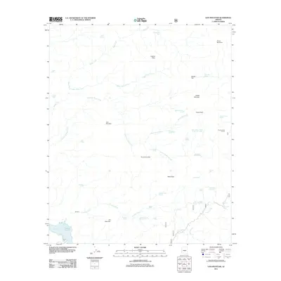
2011 Map of Lion Mountain
USGS Topo · Published 2011About this map
Lion Mountain and its surrounding peaks dominate this Maricopa County terrain, characterized by a complex network of seasonal drainages and springs within the Tonto National Forest. The landscape is defined by its water sources, from the Mormon Grove Spring in the east to the remote Jack Spring tucked near the South Fork Sheep Creek. The presence of the SB Cabin suggests early 20th-century ranching or forest management activity, while the Mormon Grove Trailhead indicates the area's continued use for modern recreation. Distinctive landmarks such as the Potato Patch and Tournament Flat interrupt the high ridges of Cypress Ridge and Black Ridge. These names reflect the local history of cattle drives and seasonal grazing, where access to water features like Cholla Spring and Copper Tank was essential for survival in this arid environment.
Find a feature on this map
49 named features on this map. Tap any name to fly to it.
Don’t see what you’re looking for? This feature index may not catch every label — zoom into the map to look around manually.
Map Details
Editions of this 2011 Lion Mountain Map
This is the sole edition of this map. No revisions or reprints were ever made.
Other maps of this area

1887 · Verde
USGS Topo · 1:250,000

1892 · Verde
USGS Topo · 1:250,000

1907 · Roosevelt
USGS Topo · 1:125,000

1909 · Four Peaks
USGS Topo · 1:125,000

1912 · Roosevelt
USGS Topo · 1:125,000

1929 · Turret Peak
USGS Topo · 1:125,000

1930 · Cave Creek
USGS Topo · 1:125,000

1933 · Turret Peak
USGS Topo · 1:125,000

1936 · Payson
USGS Topo · 1:48,000

1939 · Cave Creek
USGS Topo · 1:125,000