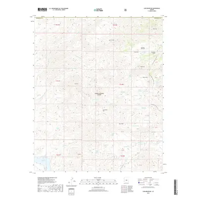
2018 Map of Lion Mountain
USGS Topo · Published 2018About this map
The Tonto National Forest defines this high-elevation landscape in Maricopa County, where the Arizona National Scenic Trail winds through the eastern ridges. This 2018 survey reveals a terrain defined by isolated peaks and seasonal water sources, ranging from Lion Mtn in the west to the Mazatzal Mountains in the east. The map identifies numerous springs and tanks, such as Brunson Tank and Chalk Spring Number One, which were essential for both early cattle ranching and later forest management.
Find a feature on this map
64 named features on this map. Tap any name to fly to it.
Don’t see what you’re looking for? This feature index may not catch every label — zoom into the map to look around manually.
Map Details
Editions of this 2018 Lion Mountain Map
This is the sole edition of this map. No revisions or reprints were ever made.
Other maps of this area

1887 · Verde
USGS Topo · 1:250,000

1892 · Verde
USGS Topo · 1:250,000

1907 · Roosevelt
USGS Topo · 1:125,000

1909 · Four Peaks
USGS Topo · 1:125,000

1912 · Roosevelt
USGS Topo · 1:125,000

1929 · Turret Peak
USGS Topo · 1:125,000

1930 · Cave Creek
USGS Topo · 1:125,000

1933 · Turret Peak
USGS Topo · 1:125,000

1936 · Payson
USGS Topo · 1:48,000

1939 · Cave Creek
USGS Topo · 1:125,000