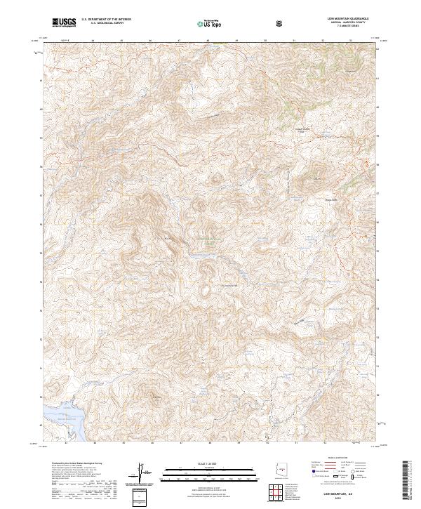
2023 Map of Lion Mountain
USGS Topo · Published 2023About this map
The Mazatzal Wilderness and Tonto National Forest dominate this high-desert landscape, where the topography transitions from the dramatic peaks of Lion Mountain and Sheep Mountain toward the southwestern waters of the Verde River. The presence of the Arizona National Scenic Trail and various historic routes like the Sears Trail and Sheep Creek Trail indicate a region shaped by long-standing transit through difficult terrain. Water sources are critical here, evidenced by numerous named springs such as Lizard Spring, Cholla Spring, and Mormon Grove Spring which supported seasonal activities and livestock.
Find a feature on this map
68 named features on this map. Tap any name to fly to it.
Don’t see what you’re looking for? This feature index may not catch every label — zoom into the map to look around manually.
Map Details
Editions of this 2023 Lion Mountain Map
This is the sole edition of this map. No revisions or reprints were ever made.
Other maps of this area

1887 · Verde
USGS Topo · 1:250,000

1892 · Verde
USGS Topo · 1:250,000

1907 · Roosevelt
USGS Topo · 1:125,000

1909 · Four Peaks
USGS Topo · 1:125,000

1912 · Roosevelt
USGS Topo · 1:125,000

1929 · Turret Peak
USGS Topo · 1:125,000

1930 · Cave Creek
USGS Topo · 1:125,000

1933 · Turret Peak
USGS Topo · 1:125,000

1936 · Payson
USGS Topo · 1:48,000

1939 · Cave Creek
USGS Topo · 1:125,000