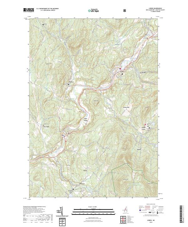
2024 Map of Lisbon
USGS Topo · Published 2024About this map
The Ammonoosuc River and its tributary, the Wild Ammonoosuc River, dictate the settlement patterns of this Grafton County landscape, where small villages and family-named cemeteries are concentrated along the narrow valley floors. The town of Lisbon serves as a primary hub, while smaller historic clusters like Upper Village, Savageville, and Swiftwater trace the early water-powered industry and agricultural corridors of the region. Local genealogy is well-documented through numerous burial grounds, including the Grove Hill Cem overlooking Lisbon and the Salmon Hole Cem near the distinctive Salmon Hole geological feature.
Find a feature on this map
65 named features on this map. Tap any name to fly to it.
Don’t see what you’re looking for? This feature index may not catch every label — zoom into the map to look around manually.
Map Details
Editions of this 2024 Lisbon Map
This is the sole edition of this map. No revisions or reprints were ever made.
Other maps of this area

1929 · Moosilauke
USGS Topo · 1:62,500

1931 · Littleton
USGS Topo · 1:62,500

1931 · Woodsville
USGS Topo · 1:48,000

1932 · Littleton
USGS Topo · 1:48,000

1932 · Moosilauke
USGS Topo · 1:62,500

1935 · Woodsville
USGS Topo · 1:62,500

1935 · Littleton
USGS Topo · 1:62,500

1938 · St. Johnsbury
USGS Topo · 1:48,000

1941 · Woodsville
USGS Topo · 1:62,500

1943 · St. Johnsbury
USGS Topo · 1:62,500