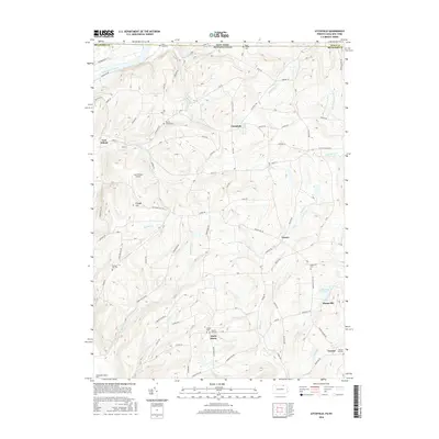
2016 Map of Litchfield
USGS Topo · Published 2016About this map
The Susquehanna River defines the northwestern corner of this landscape, where the settlement of East Athens sits near the Sayre Reservoir. This borderland terrain is marked by a network of drainage creeks including Satterlee Cr, Parks Cr, and Mallory Cr that carve through the uplands near Orange Hill. For genealogists and local historians, the sheet is particularly valuable for its documentation of family burial sites, including the Merrill Family Cem and Rossi Family Cem, alongside larger community spaces like the Sheshequin Valley Cem. The rural character of the area is further evidenced by scattered hamlets such as Litchfield, North Ghent, and Vawter, connected by a complex system of local routes like Goose Hollow Rd and Dugan Hill Rd.
Find a feature on this map
113 named features on this map. Tap any name to fly to it.
Don’t see what you’re looking for? This feature index may not catch every label — zoom into the map to look around manually.
Map Details
Editions of this 2016 Litchfield Map
This is the sole edition of this map. No revisions or reprints were ever made.
Other maps of this area

1902 · Waverly
USGS Topo · 1:62,500

1903 · Owego
USGS Topo · 1:62,500

1905 · Watkins Glen
USGS Topo · 1:125,000

1906 · Catatonk
USGS Topo · 1:125,000

1923 · Towanda
USGS Topo · 1:62,500

1926 · Towanda
USGS Topo · 1:62,500

1939 · Sayre
USGS Topo · 1:62,500

1942 · Sayre
USGS Topo · 1:62,500

1943 · Towanda
USGS Topo · 1:62,500

1948 · Sayre
USGS Topo · 1:62,500