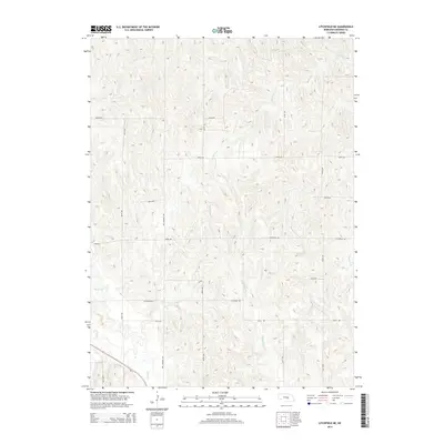
2014 Map of Litchfield NE
USGS Topo · Published 2014About this map
Sherman County farmland is defined by an intricate network of drainages and section-line roads in this 2014 survey. The landscape is carved by several distinct watercourses, including the curiously named Bloody Run Cr, Wiggle Cr, and Brown Cr, which weave through the terrain. These natural features contrast with the rigid grid of the Nebraska plains, where routes like WPA Sherman Ave and Litchfield Rd provide access to the rural interior. The presence of Ne-2 in the southwestern corner indicates a primary artery for regional travel, while the naming of Mud Cr and Clear Cr suggests the varied character of the local hydrology during this era of modern agricultural management.
Find a feature on this map
19 named features on this map. Tap any name to fly to it.
Don’t see what you’re looking for? This feature index may not catch every label — zoom into the map to look around manually.
Map Details
Editions of this 2014 Litchfield NE Map
This is the sole edition of this map. No revisions or reprints were ever made.
Other maps of this area

1899 · Loup
USGS Topo · 1:125,000

1951 · Arcadia SE
USGS Topo · 1:24,000

1951 · Litchfield SW
USGS Topo · 1:24,000

1951 · Litchfield NE
USGS Topo · 1:24,000

1951 · Hazard
USGS Topo · 1:24,000

1951 · Arcadia SW
USGS Topo · 1:24,000

1951 · Litchfield
USGS Topo · 1:24,000

1953 · Ravenna NW
USGS Topo · 1:24,000

1953 · Loup City
USGS Topo · 1:24,000

1953 · Ravenna
USGS Topo · 1:24,000