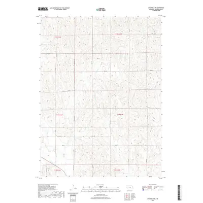
2017 Map of Litchfield NE
USGS Topo · Published 2017About this map
The upper reaches of Bloody Run Cr and Wiggle Cr define this dissection of the Central Loess Plains in Sherman County. The landscape is characterized by a dense network of drainages including Brown Cr and Clear Cr, which have carved intricate topographic patterns across the township lines of T14N and T15N. This 2017 survey reflects the persistent section-line road grid typical of rural Nebraska, with corridors such as Litchfield Rd and Quandt Rd providing access to the upland divides. The drainage pattern shown by Mud Cr in the southwest corner illustrates the subtle but complex hydrology of the region, where seasonal creeks and dry runs shape the local geography between agricultural plots.
Find a feature on this map
21 named features on this map. Tap any name to fly to it.
Don’t see what you’re looking for? This feature index may not catch every label — zoom into the map to look around manually.
Map Details
Editions of this 2017 Litchfield NE Map
This is the sole edition of this map. No revisions or reprints were ever made.
Other maps of this area

1899 · Loup
USGS Topo · 1:125,000

1951 · Arcadia SE
USGS Topo · 1:24,000

1951 · Litchfield SW
USGS Topo · 1:24,000

1951 · Litchfield NE
USGS Topo · 1:24,000

1951 · Hazard
USGS Topo · 1:24,000

1951 · Arcadia SW
USGS Topo · 1:24,000

1951 · Litchfield
USGS Topo · 1:24,000

1953 · Ravenna NW
USGS Topo · 1:24,000

1953 · Loup City
USGS Topo · 1:24,000

1953 · Ravenna
USGS Topo · 1:24,000