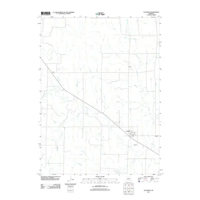
2011 Map of Litchfield
USGS Topo · Published 2011About this map
Litchfield anchors this 2011 survey of Sherman County, where the settlement pattern follows the diagonal path of the railroad and the wandering course of Mud Creek. The village center is defined by the Litchfield Post Office and the nearby Kamper Korner, while the surrounding prairie is partitioned by a rigid grid of local roads and several meandering waterways, including Clear Creek, Dutch Creek, and Oak Creek.
Find a feature on this map
12 named features on this map. Tap any name to fly to it.
Don’t see what you’re looking for? This feature index may not catch every label — zoom into the map to look around manually.
Map Details
Editions of this 2011 Litchfield Map
This is the sole edition of this map. No revisions or reprints were ever made.
Other maps of this area

1951 · Arcadia SE
USGS Topo · 1:24,000

1951 · Litchfield SW
USGS Topo · 1:24,000

1951 · Litchfield NE
USGS Topo · 1:24,000

1951 · Hazard
USGS Topo · 1:24,000

1951 · Mason City
USGS Topo · 1:24,000

1951 · Ansley SE
USGS Topo · 1:24,000

1951 · Mason City SE
USGS Topo · 1:24,000

1951 · Arcadia SW
USGS Topo · 1:24,000

1951 · Litchfield
USGS Topo · 1:24,000

1955 · Broken Bow
USGS Topo · 1:250,000