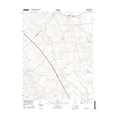
2015 Map of Lithium
USGS Topo · Published 2015About this map
Lithium and the surrounding Perry County countryside are defined by a complex hydrologic landscape near the Mississippi River. The namesake Lithium Spring and the nearby Blue Spring highlight the area's karst topography, further evidenced by the Ball Mill Resurgence along Blue Spring Br. Small agrarian settlements like Brewer, Giboney, and Saline Junction serve as local anchors connected by a network of county roads including Co Road 810 and Co Road 914. In the northern portion of the map, the boundary between Missouri and Illinois cuts through Kaskaskia Island, a remnant of the Old River's shifting course. The terrain transitions from the low-lying Bois Brule bottomlands to the timbered reaches of Guittar Hollow, punctuated by family landmarks such as Brown Cemetery and private water bodies like Rock Valley Lake.
Find a feature on this map
80 named features on this map. Tap any name to fly to it.
Don’t see what you’re looking for? This feature index may not catch every label — zoom into the map to look around manually.
Map Details
Editions of this 2015 Lithium Map
This is the sole edition of this map. No revisions or reprints were ever made.
Other maps of this area

1907 · Weingarten
USGS Topo · 1:62,500

1909 · Weingarten
USGS Topo · 1:62,500

1910 · Higdon
USGS Topo · 1:62,500

1915 · Chester
USGS Topo · 1:62,500

1923 · Perryville
USGS Topo · 1:62,500

1924 · Perryville
USGS Topo · 1:62,500

1947 · Chester
USGS Topo · 1:62,500

1949 · Paducah
USGS Topo · 1:250,000

1949 · Rolla
USGS Topo · 1:250,000

1950 · Paducah
USGS Topo · 1:250,000