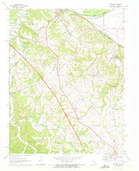
1970 Map of Lithium
USGS Topo · Published 1972About this map
Saline Creek and its many tributaries, including South Fork Saline Creek, define the topography of this corner of Perry County during the early 1970s. The small settlement of Lithium sits near the eastern edge of the map, while Brewer serves as a local hub further south. A notable geological feature, the Ball Mill Resurgence, is documented alongside Blue Spring, highlighting the karst-influenced hydrology of the region. The map also records the infrastructure of the era, showing a major highway under construction across the landscape, cutting past an old railroad grade.
Find a feature on this map
29 named features on this map. Tap any name to fly to it.
Don’t see what you’re looking for? This feature index may not catch every label — zoom into the map to look around manually.
Map Details
Editions of this 1970 Lithium Map
2 editions found
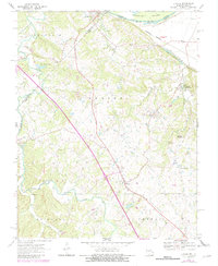
Other maps of this area

1907 · Weingarten
USGS Topo · 1:62,500

1909 · Weingarten
USGS Topo · 1:62,500

1910 · Higdon
USGS Topo · 1:62,500

1915 · Chester
USGS Topo · 1:62,500

1923 · Perryville
USGS Topo · 1:62,500

1924 · Perryville
USGS Topo · 1:62,500

1947 · Chester
USGS Topo · 1:62,500

1949 · Paducah
USGS Topo · 1:250,000

1949 · Rolla
USGS Topo · 1:250,000

1950 · Paducah
USGS Topo · 1:250,000