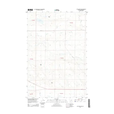
2014 Map of Little Bear Lake
USGS Topo · Published 2014About this map
Paradise Valley and the surrounding rangelands of Petroleum County are defined by a network of seasonal watercourses and irrigation infrastructure in this 2014 survey. The eponymous Little Bear Lake sits in the northwest, while the Winnett Irrigation County Ditch snakes across the central townships, illustrating the managed water systems critical to this part of Montana. The landscape is deeply incised by drainages such as Whites Coulee and Buffalo Cr, which feed into the larger McDonald Cr system to the south. Cemetery Rd provides a straight-line corridor through the northern sections, serving as one of the few improved routes alongside MT-200. The map's detailed topography reveals the complex breaks and coulees that characterize the terrain between the local creek beds and the broader valley floor.
Find a feature on this map
16 named features on this map. Tap any name to fly to it.
Don’t see what you’re looking for? This feature index may not catch every label — zoom into the map to look around manually.
Map Details
Editions of this 2014 Little Bear Lake Map
This is the sole edition of this map. No revisions or reprints were ever made.
Other maps of this area

1954 · Roundup
USGS Topo · 1:250,000

1954 · Lewistown
USGS Topo · 1:250,000

1958 · Roundup
USGS Topo · 1:250,000

1959 · Lewistown
USGS Topo · 1:250,000

1986 · Snoose Creek
USGS Topo · 1:24,000

1986 · Wild Horse Lake
USGS Topo · 1:24,000

1986 · Dry Blood Creek West
USGS Topo · 1:24,000

1986 · Winnett North
USGS Topo · 1:24,000

1986 · Dry Blood Creek East
USGS Topo · 1:24,000

1986 · Teigen
USGS Topo · 1:24,000