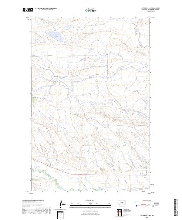
2024 Map of Little Bear Lake
USGS Topo · Published 2024About this map
Winnett Irrigation County Ditch winds across this Petroleum County landscape, illustrating the critical role of water management in Montana's ranching and agricultural history. The terrain is defined by a network of drainage systems, including McDonald Creek, Buffalo Creek, and the distinctive northern waters of Little Bear Lake. While primarily open rangeland, the map reveals human imprints through corridors like Cemetery Rd and the township lines of the Public Land Survey System. Variations in the landscape are marked by Whites Coulee and Box Elder Creek, showing how the local topography funnels seasonal water through this arid region. The presence of the irrigation ditch highlights the intersection of natural hydrology and engineering necessary for settlement and sustained land use in the plains south of the Missouri River.
Find a feature on this map
14 named features on this map. Tap any name to fly to it.
Don’t see what you’re looking for? This feature index may not catch every label — zoom into the map to look around manually.
Map Details
Editions of this 2024 Little Bear Lake Map
This is the sole edition of this map. No revisions or reprints were ever made.
Other maps of this area

1954 · Roundup
USGS Topo · 1:250,000

1954 · Lewistown
USGS Topo · 1:250,000

1958 · Roundup
USGS Topo · 1:250,000

1959 · Lewistown
USGS Topo · 1:250,000

1986 · Snoose Creek
USGS Topo · 1:24,000

1986 · Wild Horse Lake
USGS Topo · 1:24,000

1986 · Dry Blood Creek West
USGS Topo · 1:24,000

1986 · Winnett North
USGS Topo · 1:24,000

1986 · Dry Blood Creek East
USGS Topo · 1:24,000

1986 · Teigen
USGS Topo · 1:24,000