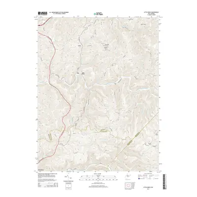
2014 Map of Little Birch
USGS Topo · Published 2014About this map
Little Birch lies at the heart of this central West Virginia landscape, where the Little Birch River carves a winding path through the deeply dissected plateau of Braxton County. The settlement pattern follows the narrow valleys and ridgelines, with small communities like Tesla and Hickory Flats connected by a network of rural routes such as the Old Tpke Rd. High points like Little Birch Mtn and Pilot Knob define the local horizon, while the Mountaineer Expy provides modern access through the western edge of the quadrangle.
Find a feature on this map
81 named features on this map. Tap any name to fly to it.
Don’t see what you’re looking for? This feature index may not catch every label — zoom into the map to look around manually.
Map Details
Editions of this 2014 Little Birch Map
This is the sole edition of this map. No revisions or reprints were ever made.
Other maps of this area

1889 · Nicholas
USGS Topo · 1:125,000

1891 · Nicholas
USGS Topo · 1:125,000

1893 · Sutton
USGS Topo · 1:125,000

1901 · Nicholas
USGS Topo · 1:125,000

1908 · Gassaway
USGS Topo · 1:48,000

1908 · Sutton
USGS Topo · 1:48,000

1910 · Sutton Special
USGS Topo · 1:62,500

1910 · Gassaway
USGS Topo · 1:62,500

1913 · Summersville
USGS Topo · 1:48,000

1915 · Cowen
USGS Topo · 1:48,000