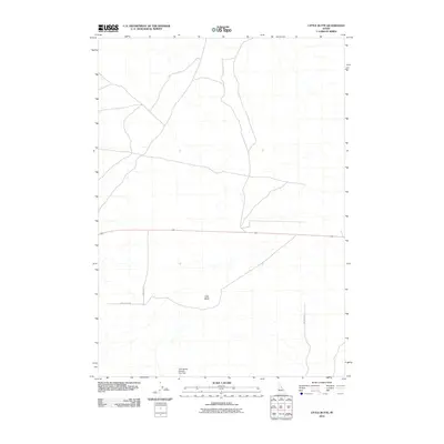
2010 Map of Little Butte
USGS Topo · Published 2010About this map
Little Butte stands as a prominent topographical landmark in this high desert landscape of eastern Idaho, anchoring a rural expanse defined by its linear road network and water management. The area is intersected by Highway 20, which runs east-to-west across the central portion of the quadrangle, serving as a primary transit corridor. A network of secondary routes, including 1600 West Rd and 2300 North Rd, provides access to the surrounding terrain, reflecting the modern systematic surveying and division of the land. In the southern reaches, the Twin Buttes Number One Dam indicates the critical role of water infrastructure in this arid environment, supporting localized land use in the shadow of the Little Butte formation.
Find a feature on this map
7 named features on this map. Tap any name to fly to it.
Don’t see what you’re looking for? This feature index may not catch every label — zoom into the map to look around manually.
Map Details
Editions of this 2010 Little Butte Map
This is the sole edition of this map. No revisions or reprints were ever made.
Other maps of this area

1955 · Idaho Falls
USGS Topo · 1:250,000

1958 · Idaho Falls
USGS Topo · 1:250,000

1964 · Kettle Butte NW
USGS Topo · 1:24,000

1964 · Kettle Butte SW
USGS Topo · 1:24,000

1973 · Little Butte NE
USGS Topo · 1:24,000

1973 · Little Butte NW
USGS Topo · 1:24,000

1973 · Middle Butte
USGS Topo · 1:24,000

1973 · Little Butte SW
USGS Topo · 1:24,000

1973 · Little Butte
USGS Topo · 1:24,000

1973 · Taber NE
USGS Topo · 1:24,000