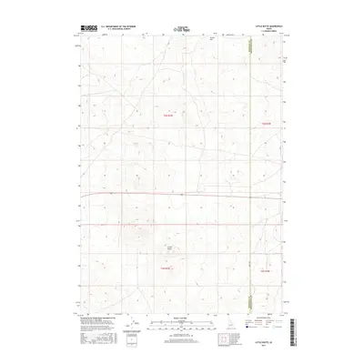
2017 Map of Little Butte
USGS Topo · Published 2017About this map
Little Butte rises as the central landmark of this high-desert landscape in Eastern Idaho, situated near the border of Bingham and Bonneville counties. This 2017 survey details the complex topography of Tractor Flat in the northern portion of the quadrangle, where the terrain is marked by subtle volcanic formations and broad alluvial sweeps. The map provides precise section lines and township markers, including t3n r33e and t2n r33e, which are essential for property researchers and those tracing historical land claims in this part of the Snake River Plain. Human infrastructure is sparse, defined primarily by the straight corridor of 1200 W Rd and various unimproved tracks that navigate the expansive open range. The lack of dense development underscores the region's character as a site of large-scale ranching and volcanic geology.
Find a feature on this map
8 named features on this map. Tap any name to fly to it.
Don’t see what you’re looking for? This feature index may not catch every label — zoom into the map to look around manually.
Map Details
Editions of this 2017 Little Butte Map
This is the sole edition of this map. No revisions or reprints were ever made.
Other maps of this area

1955 · Idaho Falls
USGS Topo · 1:250,000

1958 · Idaho Falls
USGS Topo · 1:250,000

1964 · Kettle Butte NW
USGS Topo · 1:24,000

1964 · Kettle Butte SW
USGS Topo · 1:24,000

1973 · Little Butte NE
USGS Topo · 1:24,000

1973 · Little Butte NW
USGS Topo · 1:24,000

1973 · Middle Butte
USGS Topo · 1:24,000

1973 · Little Butte SW
USGS Topo · 1:24,000

1973 · Little Butte
USGS Topo · 1:24,000

1973 · Taber NE
USGS Topo · 1:24,000