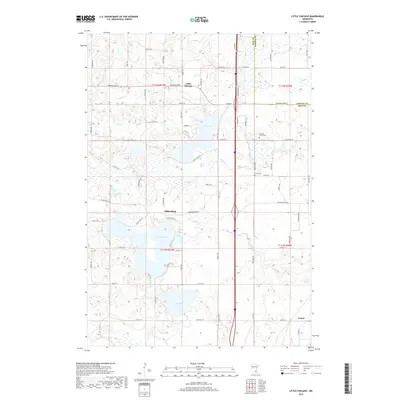
2019 Map of Little Chicago
USGS Topo · Published 2019About this map
Millersburg and the small settlement of Little Chicago anchor this Rice County landscape, where the prairie gives way to a dense network of glacial lakes and creek drainages. The area is defined by its hydrology, specifically the large basins of Circle Lake and Union Lake, which are linked by the winding course of Wolf Cr. The presence of Rolling Green Cem and Forest Cem suggests the long-standing community centers established during the region's agricultural development.
Find a feature on this map
74 named features on this map. Tap any name to fly to it.
Don’t see what you’re looking for? This feature index may not catch every label — zoom into the map to look around manually.
Map Details
Editions of this 2019 Little Chicago Map
This is the sole edition of this map. No revisions or reprints were ever made.
Other maps of this area

1953 · Saint Paul
USGS Topo · 1:250,000

1957 · Farmington
USGS Topo · 1:62,500

1957 · Prior Lake
USGS Topo · 1:62,500

1959 · Saint Paul
USGS Topo · 1:250,000

1960 · Faribault
USGS Topo · 1:24,000

1960 · Northfield
USGS Topo · 1:24,000

1960 · Cannon City
USGS Topo · 1:24,000

1960 · Shieldsville
USGS Topo · 1:24,000

1960 · Lonsdale
USGS Topo · 1:24,000

1960 · Little Chicago
USGS Topo · 1:24,000