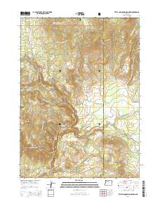
2014 Map of Little Chinquapin Mountain
USGS Topo · Published 2014About this map
Little Chinquapin Mountain and the high plateaus of the southern Cascades define this landscape at the border of Jackson and Klamath counties. Part of the Rogue River National Forest, the area is marked by a complex network of forest roads and springs, including Fredenburg Spring and Jenny Creek Spring, which feed into the Jenny Creek drainage. The Pacific Crest National Scenic Trail traverses the western high ground, crossing over Grizzly Prairie Rd and passing through the meadows of Old Baldy.
Find a feature on this map
43 named features on this map. Tap any name to fly to it.
Don’t see what you’re looking for? This feature index may not catch every label — zoom into the map to look around manually.
Map Details
Editions of this 2014 Little Chinquapin Mountain Map
This is the sole edition of this map. No revisions or reprints were ever made.
Other maps of this area

1891 · Ashland
USGS Topo · 1:250,000

1893 · Ashland
USGS Topo · 1:250,000

1897 · Ashland
USGS Topo · 1:250,000

1955 · Lake O' Woods
USGS Topo · 1:62,500

1955 · Surveyor Mtn
USGS Topo · 1:62,500

1955 · Hyatt Reservoir
USGS Topo · 1:62,500

1955 · Mt. Mc Loughlin
USGS Topo · 1:62,500

1955 · Medford
USGS Topo · 1:250,000

1957 · Medford
USGS Topo · 1:250,000

1958 · Medford
USGS Topo · 1:250,000