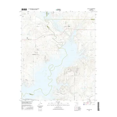
2016 Map of Little City
USGS Topo · Published 2016About this map
Fort Washita stands as a central historical landmark near the convergence of Johnston, Marshall, and Bryan Counties, surrounded by significant burial sites including the Confederate Cem and Post Cem. The landscape is dominated by the sprawling waters of Lake Texomo, which has reshaped the original course of the Old Channel Washita River and created the distinctive Cumberland Cut. Small settlements like Little City, Linn, and Cumberland are connected by a network of rural roads that skirt the reservoir's fingers and inlets. To the south, the Roosevelt Memorial Bridge provides a vital link across the water. Genealogists will find interest in the scattered rural cemeteries, such as Aylesworth Cem and Cumberland Cem, which mark the community's early footprints near the modern lakeshore.
Find a feature on this map
74 named features on this map. Tap any name to fly to it.
Don’t see what you’re looking for? This feature index may not catch every label — zoom into the map to look around manually.
Map Details
Editions of this 2016 Little City Map
This is the sole edition of this map. No revisions or reprints were ever made.
Other maps of this area

1899 · Atoka
USGS Topo · 1:125,000

1900 · Atoka
USGS Topo · 1:125,000

1901 · Tishomingo
USGS Topo · 1:125,000

1901 · Denison
USGS Topo · 1:125,000

1954 · Sherman
USGS Topo · 1:250,000

1957 · Ardmore
USGS Topo · 1:250,000

1958 · Durant
USGS Topo · 1:62,500

1958 · Denison Dam
USGS Topo · 1:62,500

1958 · Sherman
USGS Topo · 1:250,000

1963 · Ardmore
USGS Topo · 1:250,000