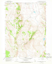
1966 Map of Little Coleman Canyon
USGS Topo · Published 1968About this map
Coleman Valley defines this high-desert landscape along the border of Nevada and Oregon during the mid-1960s. The area is characterized by the convergence of steep drainage systems, most notably Little Coleman Canyon and Coleman Canyon, which feed into the main valley floor. Human activity is centered at the Coleman Ranch, a lone outpost connected to the surrounding wilderness by a network of unimproved routes labeled as Jeep Trail and simple pack trails. These paths navigate a terrain where water is the primary point of interest for survival and ranching, marked by numerous small features like Glenco Spring and various seeps. The map captures a moment when this remote corner of Washoe County remained largely undeveloped, save for the cattle operations and a small Gravel Pit near the creek.
Find a feature on this map
15 named features on this map. Tap any name to fly to it.
Don’t see what you’re looking for? This feature index may not catch every label — zoom into the map to look around manually.
Map Details
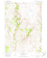
Editions of this 1966 Little Coleman Canyon Map
2 editions found
Other maps of this area

1889 · Long Valley
USGS Topo · 1:250,000

1954 · Vya
USGS Topo · 1:250,000

1955 · Adel
USGS Topo · 1:250,000

1957 · Adel
USGS Topo · 1:250,000

1958 · Vya
USGS Topo · 1:250,000

1958 · Adel
USGS Topo · 1:250,000

1962 · Vya
USGS Topo · 1:250,000

1962 · Adel
USGS Topo · 1:250,000
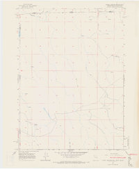
1966 · Barrel Springs
USGS Topo · 1:24,000
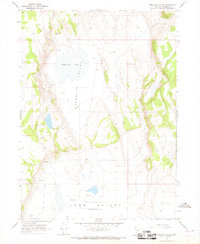
1966 · Mosquito Valley
USGS Topo · 1:24,000