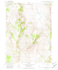
1966 Map of Little Coleman Canyon
USGS Topo · Published 1982About this map
Coleman Valley and the high desert terrain of the Oregon Nevada border define this 1966 topographic study. The landscape is characterized by its isolation and scattered water sources, including Glenco Spring and several unnamed springs and seeps that supported early ranching efforts. Evidence of human habitation is centered at the Coleman Ranch, situated near the confluence of Coleman Creek and its surrounding canyons. A network of jeep trails and trails provides the only access through the drainage of Little Coleman Canyon, highlighting the remote nature of the Lake and Washoe County line at the time of the survey. The presence of a small Gravel Pit suggests localized resource extraction in a territory otherwise dominated by natural topography and seasonal water flow.
Find a feature on this map
16 named features on this map. Tap any name to fly to it.
Don’t see what you’re looking for? This feature index may not catch every label — zoom into the map to look around manually.
Map Details
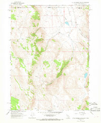
Editions of this 1966 Little Coleman Canyon Map
2 editions found
Other maps of this area

1889 · Long Valley
USGS Topo · 1:250,000

1954 · Vya
USGS Topo · 1:250,000

1955 · Adel
USGS Topo · 1:250,000

1957 · Adel
USGS Topo · 1:250,000

1958 · Vya
USGS Topo · 1:250,000

1958 · Adel
USGS Topo · 1:250,000

1962 · Vya
USGS Topo · 1:250,000

1962 · Adel
USGS Topo · 1:250,000
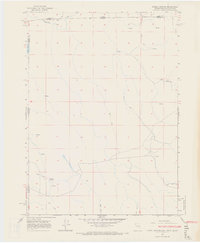
1966 · Barrel Springs
USGS Topo · 1:24,000
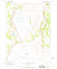
1966 · Mosquito Valley
USGS Topo · 1:24,000